Waterfront dream or quiet street with quick access to everything? If you are deciding between Rio Vista and Rio Vista Isles, the right choice comes down to how you live day to day. You might be picturing sunrise coffee on your dock or shorter upkeep with an inland yard. In a few minutes, you will understand the practical differences in boats, bridges, lots, and lifestyle so you can choose your address with confidence. Let’s dive in.
Rio Vista vs. Rio Vista Isles explained
Rio Vista is the broader neighborhood in Fort Lauderdale bounded by US‑1 to the west, the Intracoastal Waterway to the east, the New River to the north, and SE 12th Street to the south. The city’s architectural survey outlines that footprint and its historic context in detail. You can review the official boundary in the city’s Rio Vista architectural resource survey on the City of Fort Lauderdale website.
“Rio Vista Isles” is the commonly used label for the canal and island blocks on the east side of Rio Vista, close to the Intracoastal and Tarpon River. Local civic materials treat the Isles as part of the larger Rio Vista area but as a distinct sub‑pocket with private dockage and a boating focus. For neighborhood context, see the Rio Vista Civic Association’s overview, which reflects how residents use the term.
Waterfront or interior: what really changes
Both sides put you minutes from downtown, Las Olas, and marina corridors. The day‑to‑day differences show up in how you use your home and the water.
Dockage and boat size
- Isles and riverfront parcels often have private dockage with typical frontages that range from about 70 feet on many canal lots to 100–130 feet or more on selected river or wide‑canal properties. That extra length can support larger vessels or a lift plus a tender. Always verify a specific parcel’s recorded dimensions, setbacks, and permitted dock length before you buy.
- Interior Rio Vista streets do not have private docks. If you prefer less maintenance and still want to be close to marinas, an inland address can be a smart tradeoff.
Bridges and the ocean run
- The SE 17th Street Causeway is the key crossing near Rio Vista. Its published closed vertical clearance is 55 feet at mean high water, and it operates on a schedule. If you own a tall‑air‑draft boat, factor in both clearance and opening timing when you evaluate “no fixed bridges” claims.
- Isles locations offer faster runs to marinas and the inlet. That is a real advantage if you boat frequently or on short notice.
Wake, traffic, and privacy
- Waterfront blocks enjoy water views and direct access, but you will see more boat traffic and feel more wake on certain canals or riverfront edges, especially on busy weekends.
- Interior streets tend to be calmer for pedestrians and everyday routines. You avoid seawall and dock upkeep, which reduces long‑term maintenance.
Flood and insurance
- Waterfront parcels can carry higher flood and wind insurance costs. Check your FEMA flood zone and order an elevation certificate early in the process so you can price coverage with confidence.
Homes and lots: styles and scale
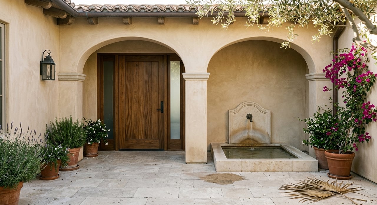
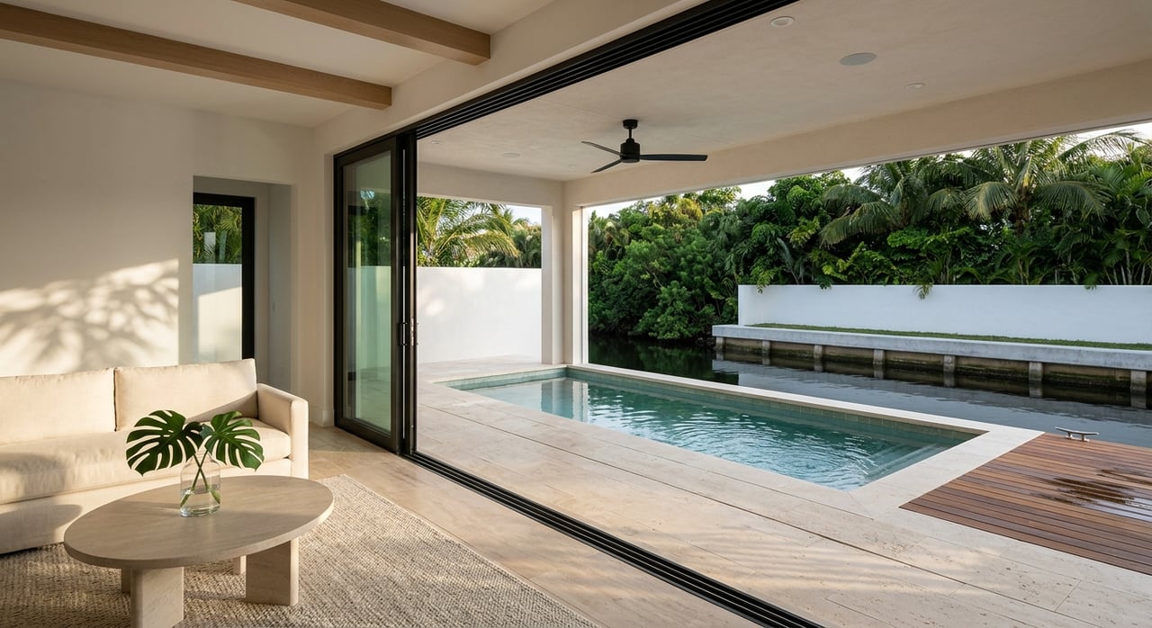
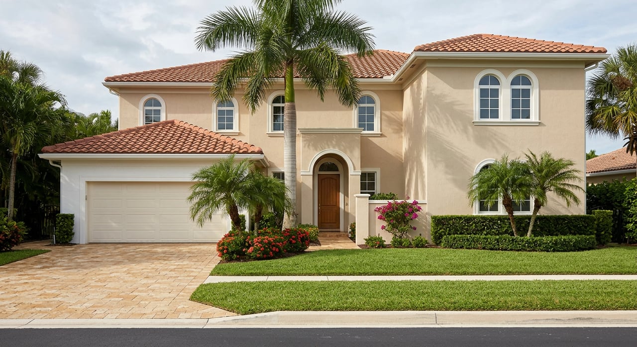
Rio Vista began to take shape in the 1920s, and the city’s architectural survey highlights a mix of historic resources and later infill. You will see Mediterranean and Spanish Revival homes alongside Old Florida cottages, mid‑century ranches, and modern custom builds. On the Isles, that mix often includes contemporary coastal estates oriented to wide water and outdoor living. A recent lifestyle feature also underscores Rio Vista’s prime location and laid‑back coastal feel.
Lot sizes vary block by block. Many interior parcels sit on traditional neighborhood lots, while canal and riverfront properties can show larger water frontage, deeper setbacks toward the water, and outdoor programs built around docks, pools, and terraces. When you evaluate any specific address, confirm the recorded plat, zoning, and setbacks with the city or your permit specialist before you plan an addition, a lift, or a new seawall.
Location and everyday anchors
You are immediately south of downtown Fort Lauderdale with quick access to the Riverwalk, Las Olas Boulevard, and the beach corridors. Actual travel time depends on your exact block and the time of day, so consider both drive and walk options when you compare addresses.
For boaters, nearby full‑service marinas and dock‑and‑dine options cluster around the 17th Street Causeway corridor. Pier Sixty‑Six Marina is a key reference point for fueling, guest dockage, and service, and Port Everglades provides the quickest inlet run for many Isles homes. On the water, remember that bridge openings and traffic will change your transit times.
How to decide: match priorities to street type
Use this quick framework to shortlist the right blocks.
- Prioritize fast ocean access, private dockage, and water views: Focus on Rio Vista Isles and riverfront lots. Confirm canal width, soundings, and any dock or lift permits for your specific parcel.
- Prioritize lower maintenance and a quieter setting within minutes of downtown and Las Olas: Focus on interior Rio Vista streets. You still get the location benefits without seawall and dock responsibilities.
Due diligence checklist you should not skip
Use this list to validate any Rio Vista or Rio Vista Isles home you are serious about.
- Confirm the parcel’s subdivision and recorded lot dimensions in county records. Verify zoning and setbacks with the City of Fort Lauderdale.
- Inspect seawall, dock, and lift. Ask for permit history and maintenance records. Order a structural seawall inspection and a recent channel sounding at the dock.
- Map your boat route. Check the SE 17th Street Causeway’s 55‑foot clearance and opening schedule if applicable to your vessel.
- Verify FEMA flood zone and order an elevation certificate. Get sample flood and wind quotes before you finalize an offer.
- Ask the neighborhood association about any supplemental patrols or assessments that may apply on certain Isles blocks.
Local resources
- Review the neighborhood’s official footprint and historic context in the City of Fort Lauderdale’s Rio Vista architectural resource survey.
- Check drawbridge clearance and operating rules for SE 17th Street Causeway on the federal regulations portal.
- Look up your FEMA flood zone and order an elevation certificate through FEMA’s Map Service Center.
- Explore civic association information and membership details on the Rio Vista Civic Association site.
- Marina services near Rio Vista: see Pier Sixty‑Six Marina for fuel and guest dockage.
- Neighborhood lifestyle context: read this feature on Rio Vista’s history and location benefits.
Ready to weigh your options with precision? If you want a clear, private strategy for choosing between Rio Vista and Rio Vista Isles, request a confidential consult with Annerley Bianco today.
FAQs
What is the difference between Rio Vista and Rio Vista Isles?
- Rio Vista is the larger official neighborhood area. “Rio Vista Isles” refers to the canal and island blocks on the east side that emphasize private dockage and boating access.
How tall of a boat can clear the 17th Street Causeway?
- The SE 17th Street Causeway has a published closed clearance of 55 feet at mean high water and operates on a schedule, so confirm both clearance and opening times for your route.
Do all Isles homes have wide water frontage?
- No. Frontage varies by parcel and canal. Many canal lots show around 70 feet of dockage, while select wider‑canal or riverfront sites can offer 100–130 feet or more. Always verify recorded dimensions and permitted dock length.
Are interior Rio Vista streets cheaper to maintain than waterfront?
- Often, yes. Without seawalls, docks, and lifts, you typically face fewer marine maintenance costs. Still budget for standard home upkeep, insurance, and any planned renovations.
How close is Rio Vista to downtown and the beach?
- Most addresses are a short drive or bike ride to Las Olas, Riverwalk, and the beach corridors. Exact minutes vary by block and time of day, so check both drive and walk times during your visits.